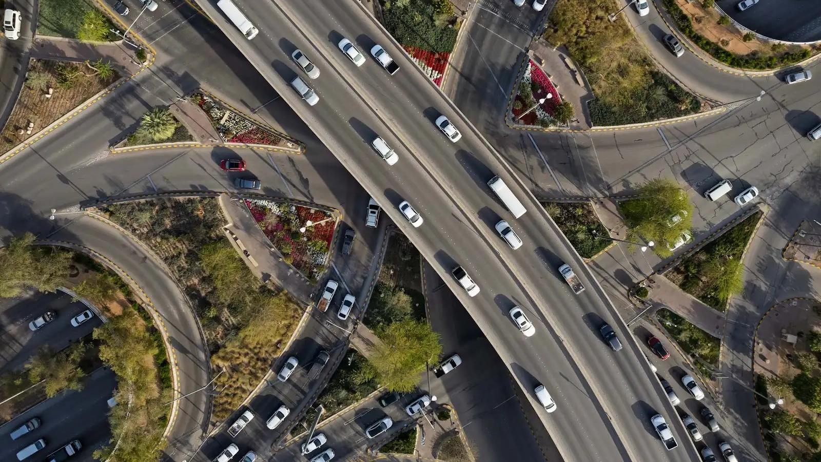
The Royal Commission for Riyadh City (RCRC) is coordinating a masterplan for a 162‑kilometre road network in northern Riyadh, intended to meet rising transport demand in the area.
The scheme targets improved connectivity around the expanding King Salman International Airport, supporting expected growth in passenger movements and commercial activity.
Expo 2030, scheduled to be hosted by Riyadh, is identified as a strategic driver for the project, adding pressure on the city’s transport system and prompting the need for stronger road links to new developments.
The northern masterplan forms part of the broader Main and Ring Road Axes Development Program, which covers more than 500 kilometres of road construction and upgrades across the capital.
RCRC has already identified 36 main and ring road corridors within the wider program, aiming to boost traffic capacity, reduce congestion and link urban districts more efficiently.
Specific procurement packages, contractor appointments and a detailed construction schedule for the 162‑kilometre network have not been disclosed in the available reporting.
Progress on related northern corridor upgrades, such as the Prince Turki bin Abdulaziz Al Awwal Road section with three new bridges, demonstrates the city’s ongoing focus on expanding road capacity, handling over 200,000 vehicles daily.
The Othman bin Affan Road northern segment also forms part of the larger development effort, featuring bridge works and connections to key corridors.
While the masterplan emphasizes road connectivity, parallel projects in the region, such as Dubai’s Green Spine highway, highlight a growing focus on integrating sustainable urban mobility with infrastructure development.
RCRC states that the northern network will be delivered in phases, coordinated with existing project groups covering major corridors, though exact timelines remain to be announced.



Comments