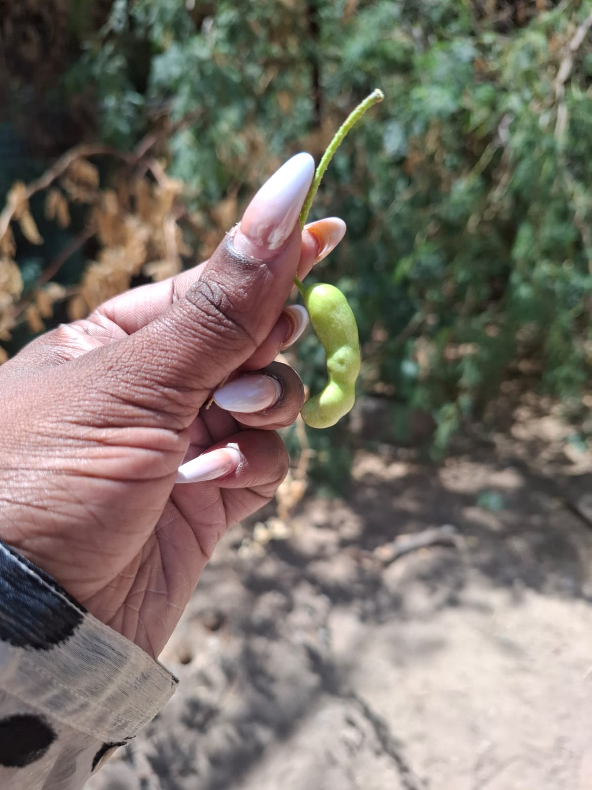
The Regional Centre for Mapping of Resources for Development (RCMRD) is employing satellite imagery, drones and geospatial analysis to map the invasive shrub Mathenge, also known as Prosopis juliflora, across Kenya’s rangelands.
Mathenge now affects 22 counties, covering roughly two million hectares, according to Patrick Mwenja, Assistant Director General of the Kenya Forestry Research Institute (KEFRI) in Turkana.
The mapping effort is part of the PASSAGE Project, implemented under the Climate Adaptation and Resilience (CLARE) programme, which aims to strengthen pastoral livelihoods through anticipatory action.
Project lead Angela Chepkoech Too Wekesa says the initiative began by addressing a critical information gap: the lack of up‑to‑date maps showing the extent of the invasion and the resources it threatens.
The team combines Sentinel‑1 and Sentinel‑2 satellite observations with data on settlements, roads and livestock corridors to assess surface water, land cover and the pressures on pastoral landscapes.
RCMRD collaborates with KEFRI and the Turkana County Government, linking scientific evidence with local knowledge and county planning to develop a Prosopis Management Plan.
The geospatial outputs have been validated through stakeholder consultations and technical reviews, informing the Turkana County Prosopis Management Plan.
Mwenja stresses that the ultimate test for pastoral families is not the number of maps produced but whether livestock can access grazing, water resources remain available and land can sustain livelihoods.
He adds that counties must act quickly on the geospatial data to protect land and communities as the invasive plant continues to spread across Kenya.



Comments